DELIVERY INCLUDED ON ALL ITEMS OVER £5

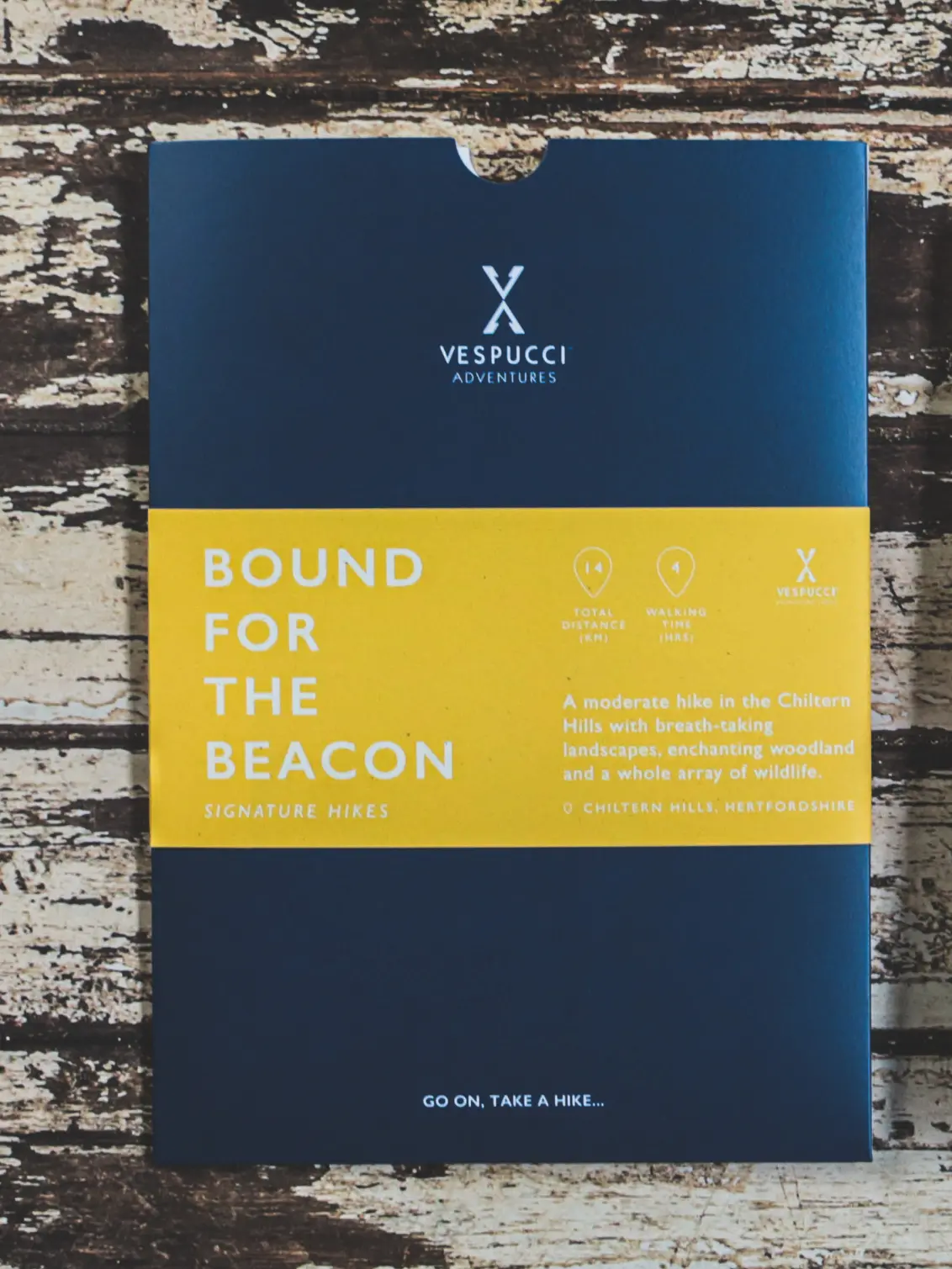
Bound For The Beacon: Map And Guidebook
Lovingly made by Vespucci Adventures
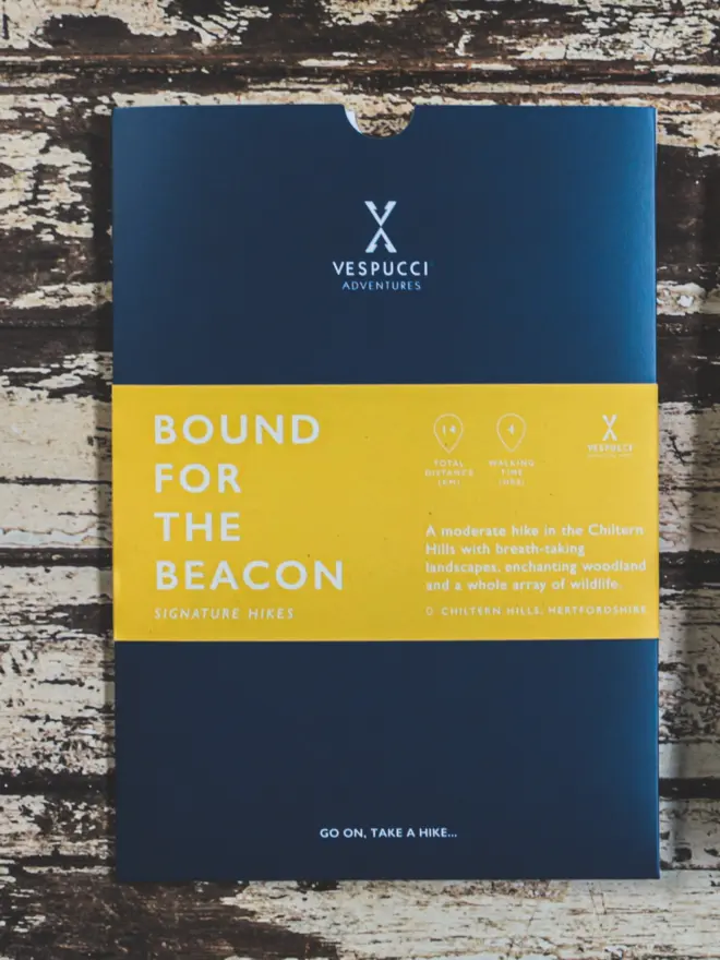
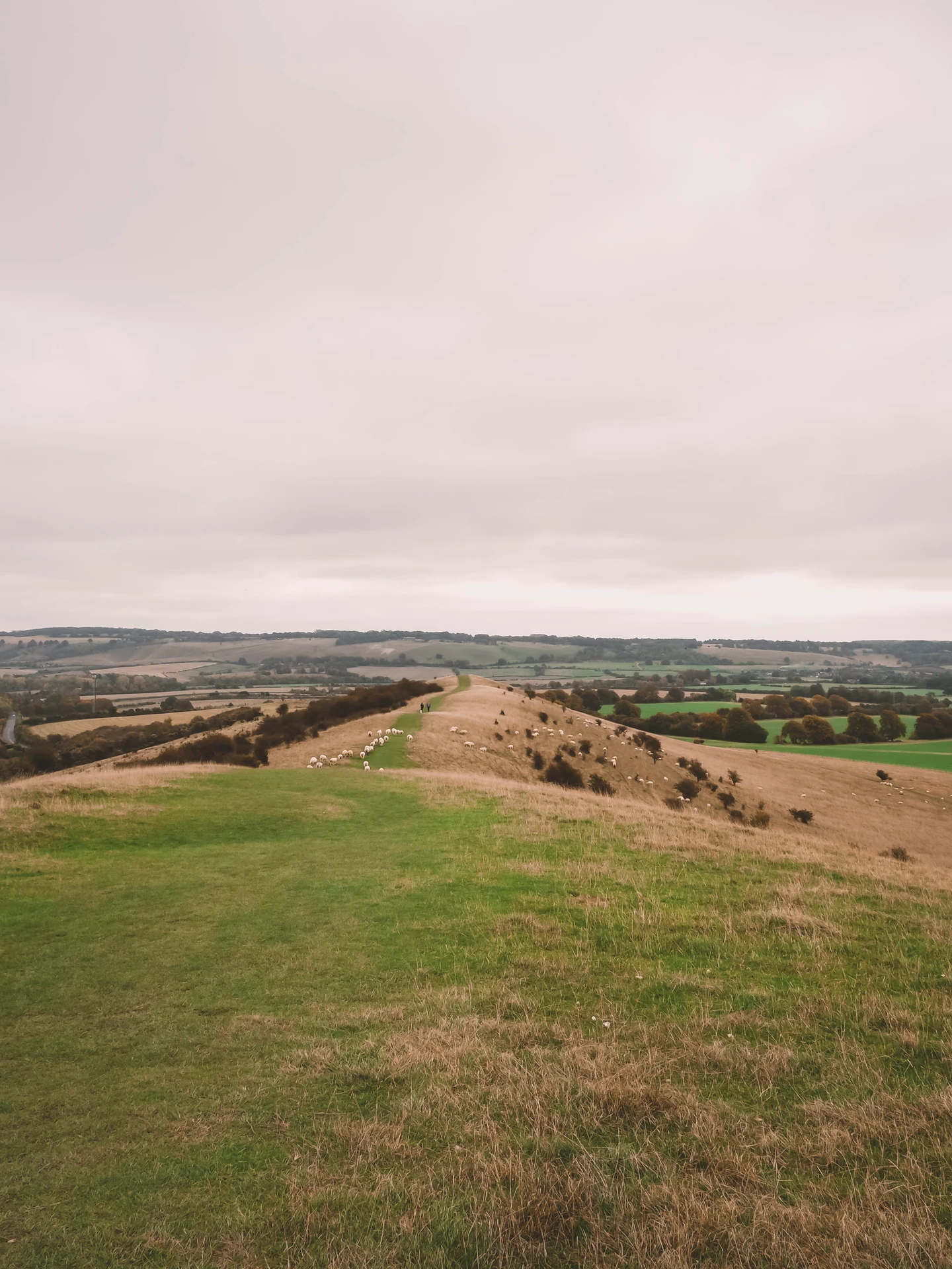
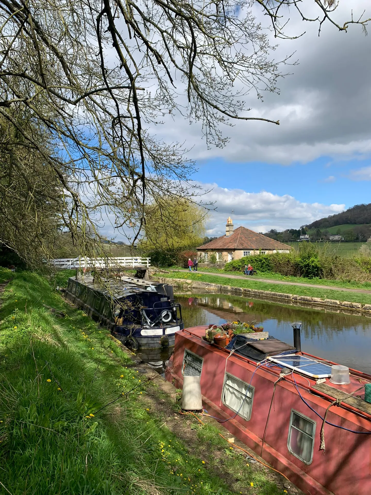
Need to Know
- The pack itself is 16cm x 21cm
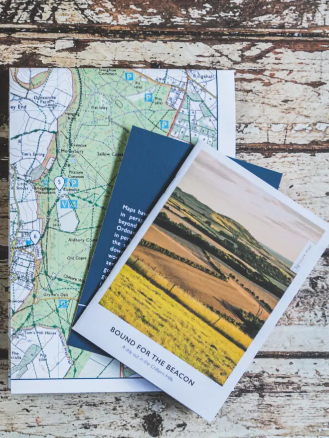
- The map fully opened is 44cm x 41cm
- The booklet is 10.5cm x 15cm
- Location: Chiltern Hills, Hertfordshire
- Start and finish point: Tring Station
- Distance: 14.4 km
- Walking time: 4 hrs
- Difficulty: Moderate
- Made by Vespucci Adventures
Description
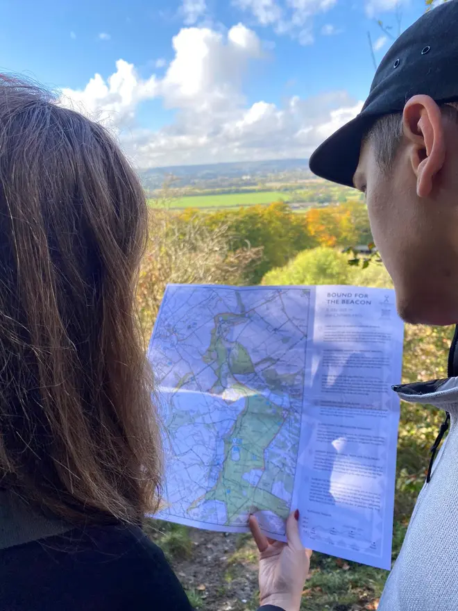
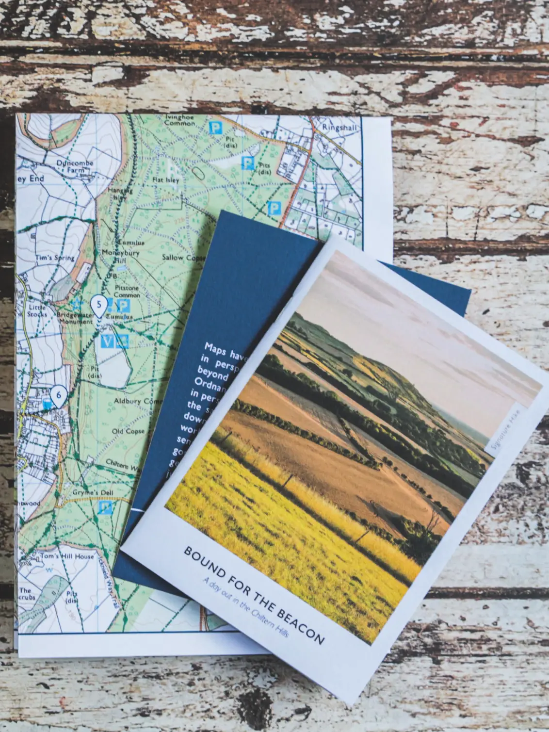
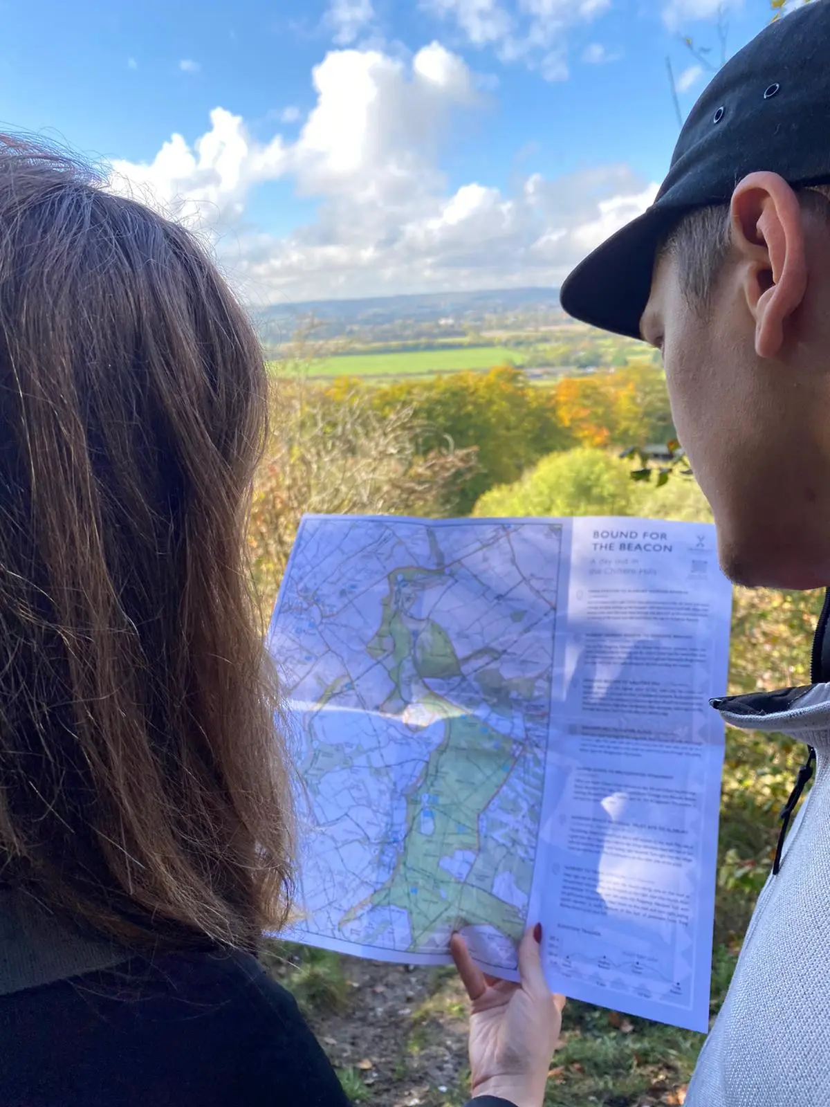
A beautifully designed map and guidebook for a scenic hike in the Chiltern Hills, perfect for nature lovers and hikers. This pack contains a fold-out Ordnance Survey map and a detailed guidebook in a convenient card sleeve...
A beautifully designed map and guidebook for a scenic hike in the Chiltern Hills, perfect for nature lovers and hikers. This pack contains a fold-out Ordnance Survey map and a detailed guidebook in a convenient card sleeve.
Perfect for hikers looking to explore the beautiful Chiltern Hills near London. Vespucci Adventures was founded 8 years ago and is a trusted source for a great day's walking.
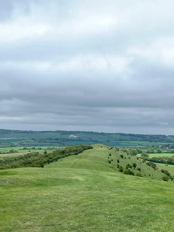
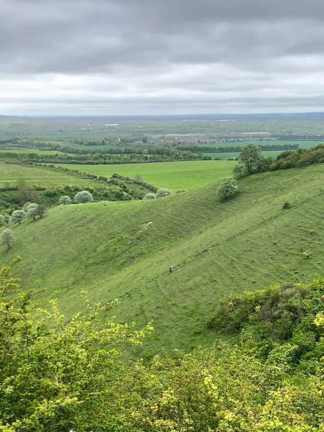
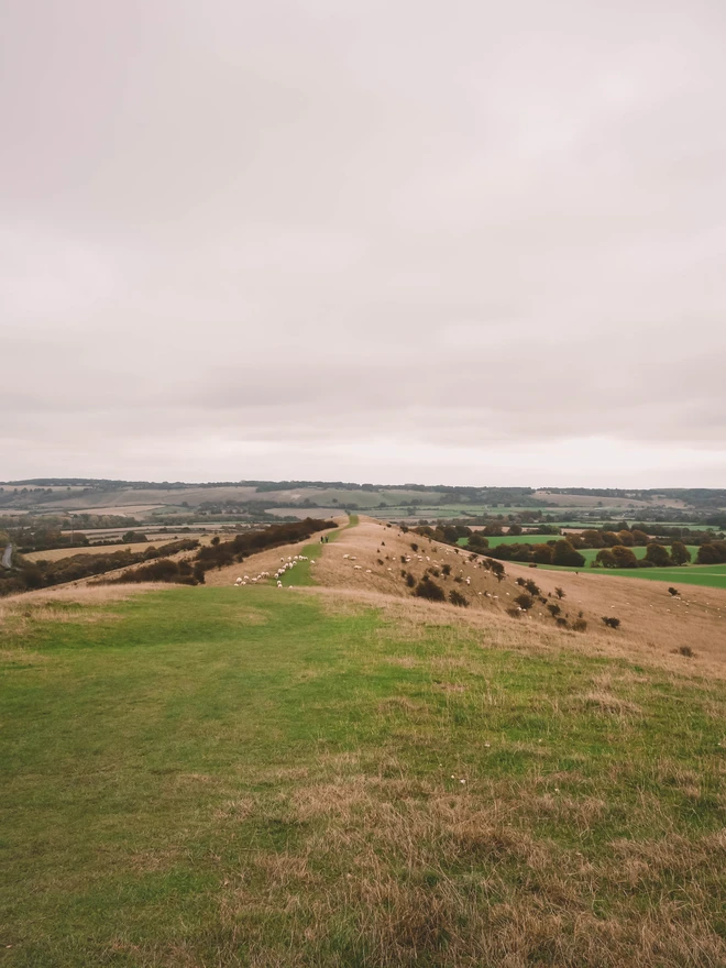
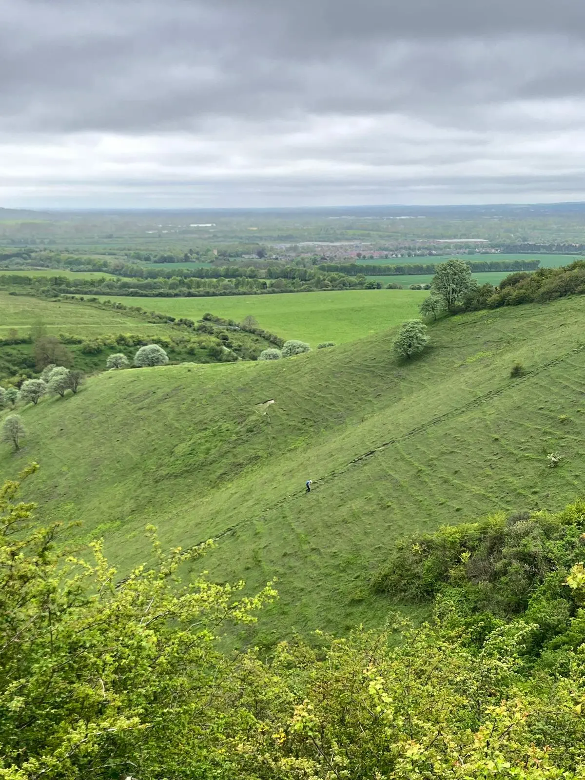
• Exploring one of the UK’s Areas of Outstanding Natural Beauty
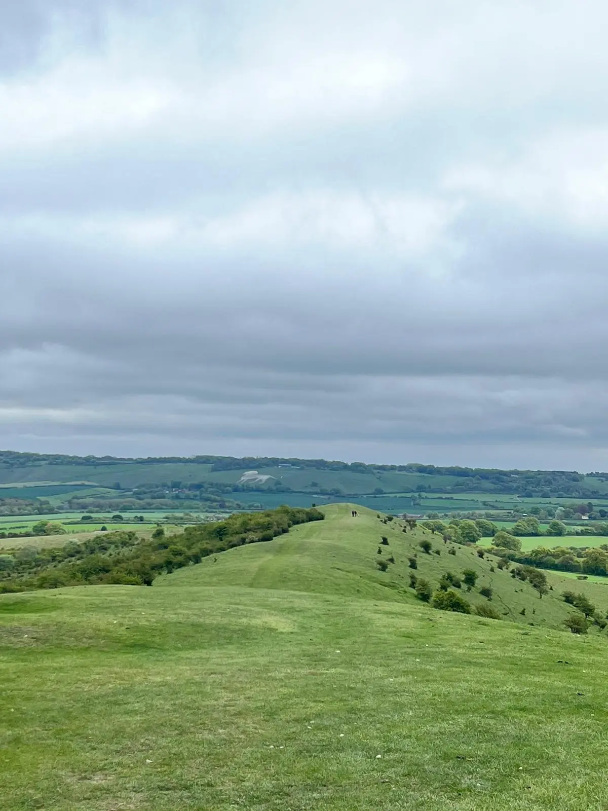
• Epic views from the Ivinghoe Beacon, the start of The Ridgeway
• Catching world class bluebells in full bloom during spring on the Ashridge Estate
• Butterfles and Red Kites in abudance
Need Help?
For more information about delivery or returning items, please take a look at our Delivery & Returns page.
Or if you still have a question about this item or anything else you're having trouble with, .
More from Vespucci Adventures

Be the first to know
Sign up to our emails for brand new small business magic and inspiration. And if you create an account, you’ll also get exclusive product drops, discounts and more from Club Holly & Co, too.