DELIVERY INCLUDED ON ALL ITEMS OVER £5







Need to Know
- Database of British Hills
- Dimensions: 152mm W x 105mm H
- 20 pages + cover
- Pages: 148gsm wind-powered paper
- Cover: 216gsm wind-powered paper with a 175gsm Factory Yellow outer cover
- Made in the UK
Description
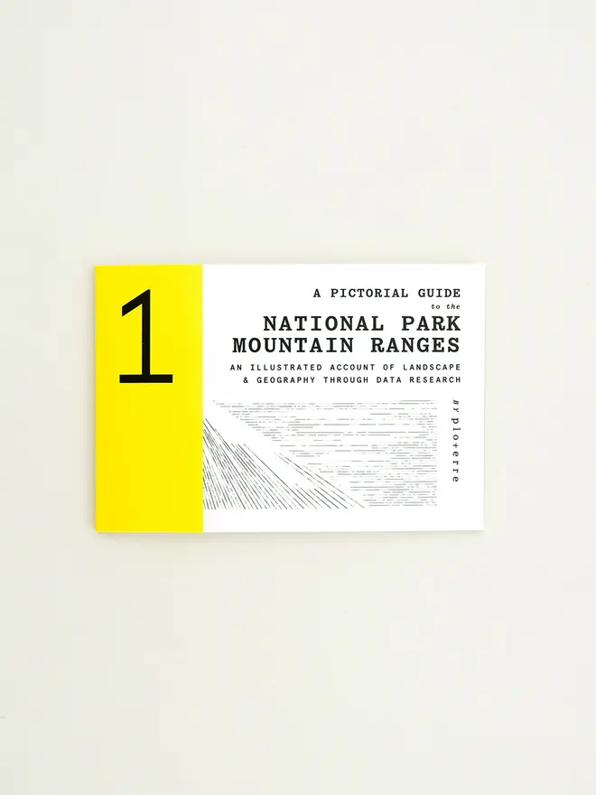
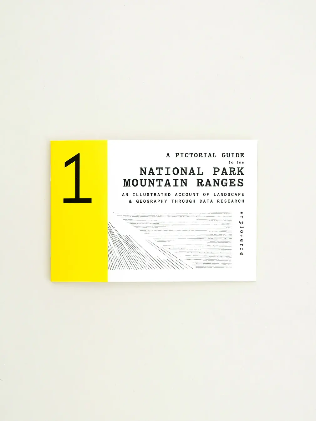
A data-driven visual guide to the mountain ranges of the British Isles. This book transforms summit data into striking visual patterns...
A data-driven visual guide to the mountain ranges of the British Isles. This book transforms summit data into striking visual patterns.
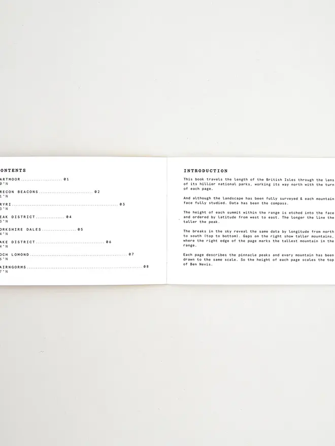
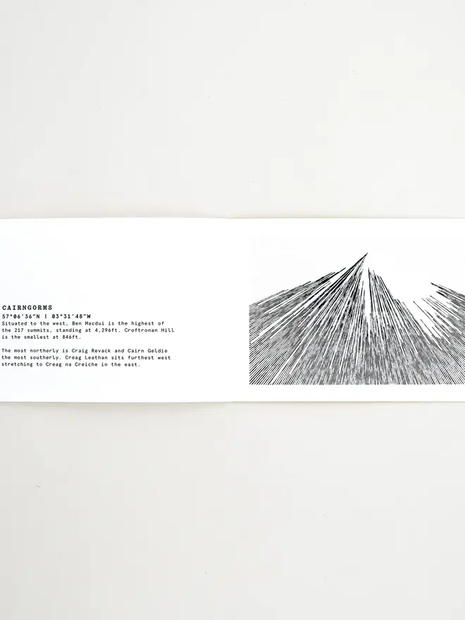
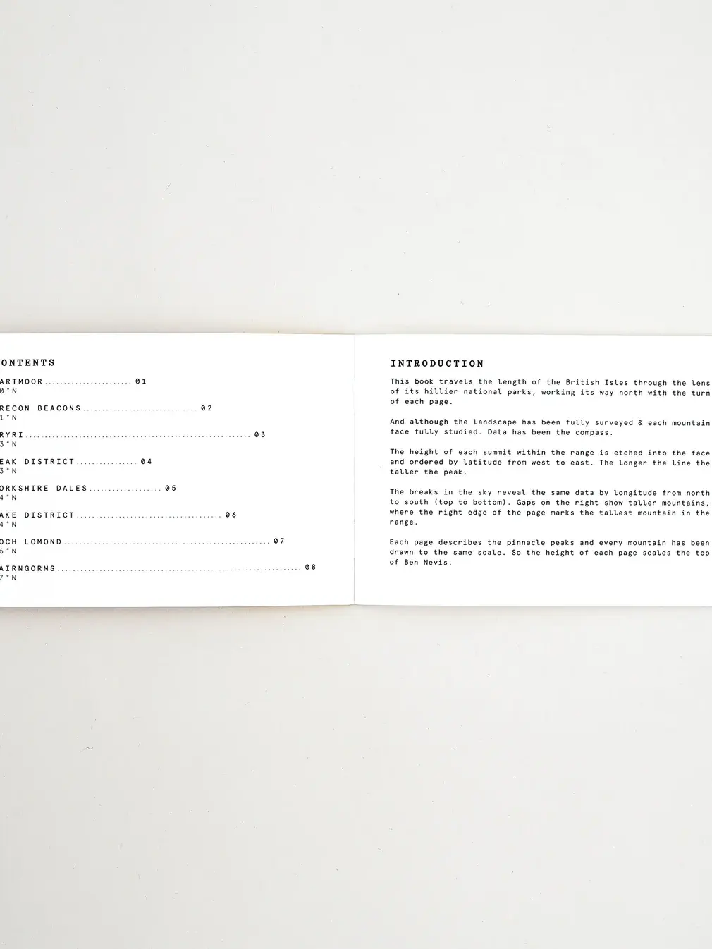
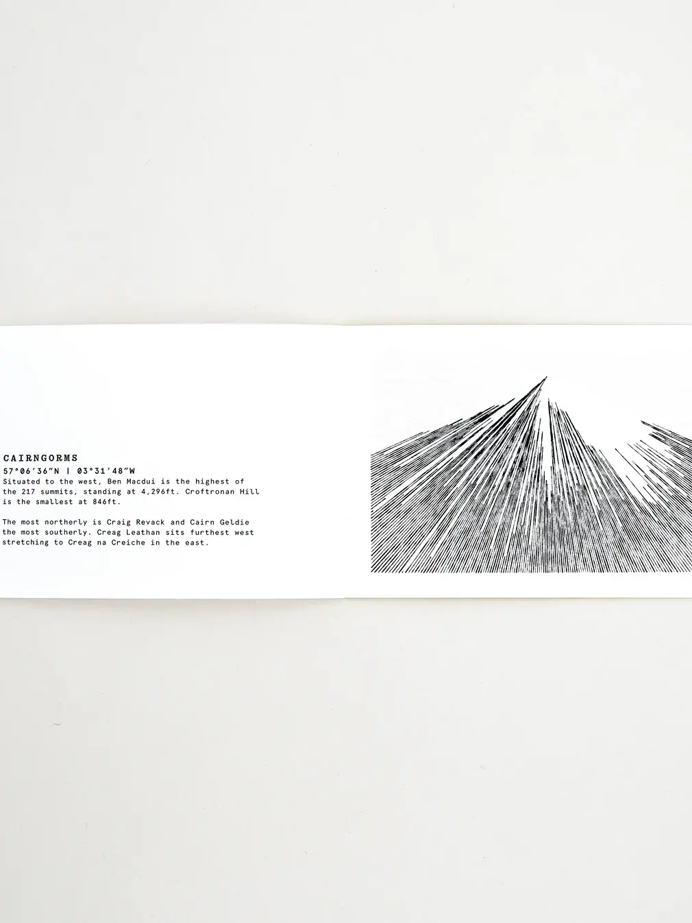
Mapping the summit data of mountain ranges across the British Isles, it explores all the mountainous national parks through their undulating landscapes. Using data from all the summits within Dartmoor, Brecon Beacons, Eyri, Peak District, Yorkshire Dales, Lake District, Loch Lomond and the Cairngorms, each line represents the height of an individual mountain.
Ordered west to east (left to right), the longer the line, the taller the mountain. The breaks in the sky show the same data by longitude (north to south). The shading represents the point of the highest peak within the range and each of the four mountains are drawn to the same scale so the overall height can be compared across the series.
The pages work their way from south to north and detail key summits across the geographical area.
Need Help?
For more information about delivery or returning items, please take a look at our Delivery & Returns page.
Or if you still have a question about this item or anything else you're having trouble with, .
You may also like
More from ploterre

Be the first to know
Sign up to our emails for brand new small business magic and inspiration. And if you create an account, you’ll also get exclusive product drops, discounts and more from Club Holly & Co, too.